
Sunday, August 2, 2026
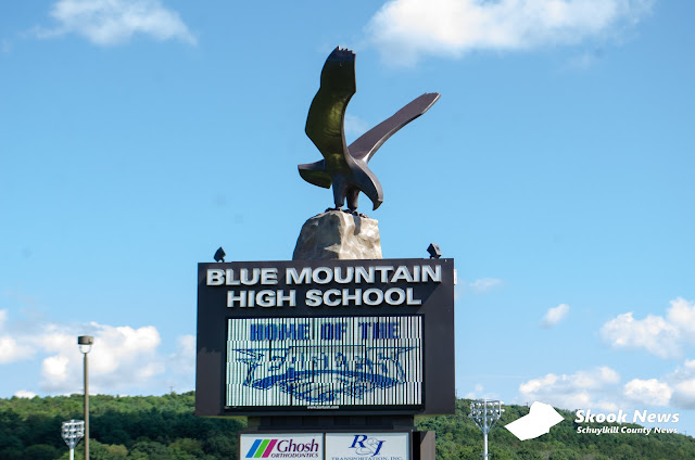
Blue Mountain School Board to Hold Special Meeting Wednesday on Potential Board Member Resignation
Saturday, August 1, 2026
Teen Driver, Pedestrian Seriously Injured in Multi-Vehicle Crash in Tower City; Charges Pending

Big Diamond Speedway Results from Friday, August 31st, 2026

A dramatic night of racing highlighted the 10th Annual Dave Kamp Memorial at Big Diamond Speedway on Friday, as Ryan Graver stormed from 12th starting position to capture the USS Achey Inc. 602 Crate Sportsman feature, while Chuck Fayash, Kris Ney, Mason Harakel, and Jeremy Ott also celebrated victories in their respective divisions.

DEP Postpones Public Hearing on Proposed BRADS Landfill Permit Modification in Schuylkill County

Schuylkill County Fair Wraps Up Saturday with Full Day of Events

Friday, July 31, 2026
Schuylkill County Marriage Licenses - July 2026
.jpg)
The following are marriage licenses that were issued during July 2026 through the Schuylkill County Register of Wills.
Ringtown Man Loses $3,000 in Amazon Gift Card Scam
Rush Township Street to Close for Nearly Two Weeks for Railroad Crossing Work

Schuylkill County Area Students Earn Degrees from Kutztown University

Schuylkill County Students Earn University of Scranton Spring 2026 Dean's List Recognition

City of Pottsville Seeks Applicants for New Assistant City Administrator/Authority & Grants Manager Position

Greater Shenandoah Area Historical Society to Revisit Borough's 1966 Centennial Celebration

The Greater Shenandoah Area Historical Society is inviting the public to take a trip back in time during its upcoming monthly presentation on Tuesday, August 4, 2026.
Thursday, July 30, 2026
Military and First Responders Day Set for Friday at Schuylkill County Fair
Subscribe to:
Posts (Atom)